FloPy coastal-aquifer saltwater intrusion
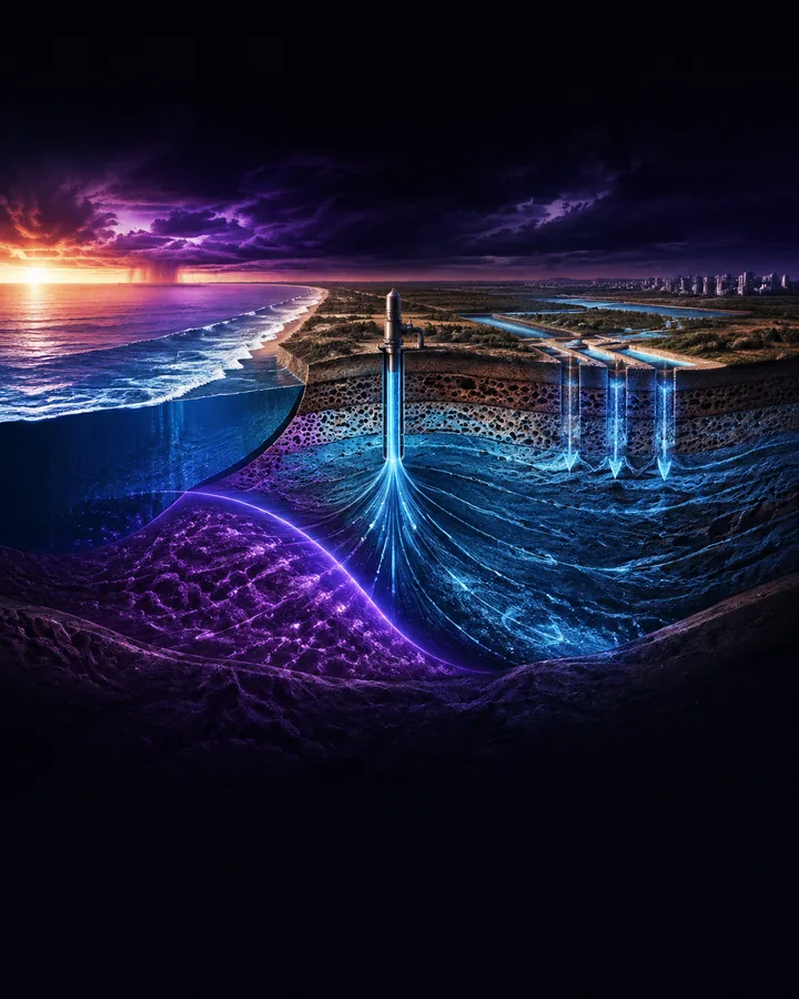
A completed variable-density groundwater study of coastal saltwater intrusion under pumping, drought, sea-level rise, and managed-recharge conditions.
Software compatibility
The source, retained results, and reference cases use FloPy 3.10.0 with the official MODFLOW 6.7.0 executable. MODFLOW 2005, SEAWAT, commercial groundwater packages, and graphical model files are not included.
Project definition
Problem statement
Groundwater pumping can draw seawater inland in a coastal aquifer, while reduced recharge and sea-level change alter both hydraulic gradients and salinity movement.
The hydrogeology problem is to compare these stresses using one documented variable-density model and separate physical trends from grid, time-step, dispersion, and anisotropy effects.
Project objectives
- Build a two-dimensional coastal cross-section with coupled groundwater-flow and salt-transport models.
- Compare reference, baseline pumping, drought, intensive pumping, sea-level, and managed-recharge scenarios.
- Measure interface position, freshwater volume, well-screen salinity, and minimum groundwater head.
- Test sensitivity to grid resolution, dispersion, vertical anisotropy, and temporal resolution.
- Retain reproducible model inputs, outputs, tables, figures, and verification evidence.
Project structure
Project components
Aquifer configuration
Defines the coastal geometry, hydraulic properties, porosity, recharge, boundaries, pumping well, and salinity conditions.
Coupled model
Builds linked MODFLOW 6 groundwater-flow and transport simulations with buoyancy coupling.
Scenario runner
Executes six physical scenarios over fifty years and retains one hundred output times per scenario.
Sensitivity study
Repeats the baseline with alternative grids, dispersivity, anisotropy, and time stepping.
Evidence
Retains model arrays, CSV and JSON summaries, nine figures, tests, and complete documentation.
Methodology
Project workflow
- 01Define a case
A validated configuration declares recharge, pumping, sea level, grid, transport, and solver settings.
- 02Build the models
FloPy writes coupled MODFLOW 6 flow and salt-transport simulations.
- 03Run fifty years
MODFLOW advances groundwater head, salinity transport, and density feedback through twenty stress periods.
- 04Calculate indicators
The analysis extracts toe position, freshwater volume, screen salinity, head, and time-series change.
- 05Compare and verify
Scenario and numerical-sensitivity evidence is plotted and checked through automated tests and repository validation.
Demonstration scenario
The baseline pumping case moves the selected interface toe from 262.5 m in the no-pumping reference to 737.5 m and raises final well-screen salinity to 5.88 g/L. Drought and intensive pumping move the toe to 787.5 m, while managed recharge limits it to 712.5 m and reduces screen salinity to 2.87 g/L.
Engineering
Tools and method
- Tools
- The project uses FloPy 3.10.0, MODFLOW 6.7.0, Python 3.11, NumPy, Pandas, Matplotlib for subject analysis, simulation, and results.
- Groundwater flow
- MODFLOW 6 solves transient saturated groundwater flow across a twenty-layer by eighty-column baseline grid.
- Salt transport
- The linked transport model resolves advection, dispersion, concentration, and density feedback.
- Experiment control
- FloPy and Python create, execute, and analyse six physical scenarios and seven numerical sensitivity cases.
- Evidence storage
- NumPy, CSV, and JSON retain heads, concentrations, time series, scenario metrics, and principal findings.
- Verification
- Nineteen automated tests cover configurations, metrics, model construction, simulation execution, and retained evidence.
Testing
Evaluation
Evaluation measures
- Seawater-interface toe position at the selected concentration threshold
- Fresh groundwater volume within the represented aquifer width
- Salt concentration at the pumping-well screen
- Minimum groundwater head under each stress case
- Grid, dispersion, anisotropy, and time-step sensitivity
- Automated tests, coverage, dependency audit, and repository validation
Project boundaries
- The aquifer is an illustrative two-dimensional vertical cross-section with homogeneous properties.
- Recharge, pumping, sea level, dispersion, and boundary conditions are controlled study assumptions rather than measurements from a named field site.
- The model does not include geological heterogeneity, unsaturated flow, tides, pumping schedules, geochemical reactions, land subsidence, or calibrated observations.
- Real groundwater management requires field data, calibration, uncertainty analysis, monitoring, permissions, and qualified hydrogeologists.
Included
- 01Complete Python, FloPy, and MODFLOW 6 source code
- 02Six completed coastal-aquifer scenarios
- 03Seven additional grid, dispersion, anisotropy, and time-step sensitivity cases
- 04Thirteen compressed head and concentration result archives
- 05Six hundred retained time-series records
- 06Nine labelled result figures
- 07Nineteen automated tests with 100 percent combined coverage
- 08Complete project files, calculations, results, and analysis material in a private GitHub repository
- 0995-page project documentation in PDF and editable Word formats
- 1023-page setup and usage guide in PDF and editable Word formats
- 11Forty-five annotated references
Project record
No information is collected on this page.
- Permanent project ID
- GP-GE-1PDQH74
- Catalogued
- 21 Aug 2026
- Completed
- 24 Aug 2026
- Verified
- 24 Aug 2026
- Demonstration
- Included in repository
Handover
After purchase
- 01Payment is confirmed
The project is marked unavailable and cannot be purchased again.
- 02Repository access is granted
The buyer's submitted GitHub account receives access to the private repository.
- 03The purchase record is delivered
The certification sheet is prepared from the reviewed buyer details and sent privately by email.